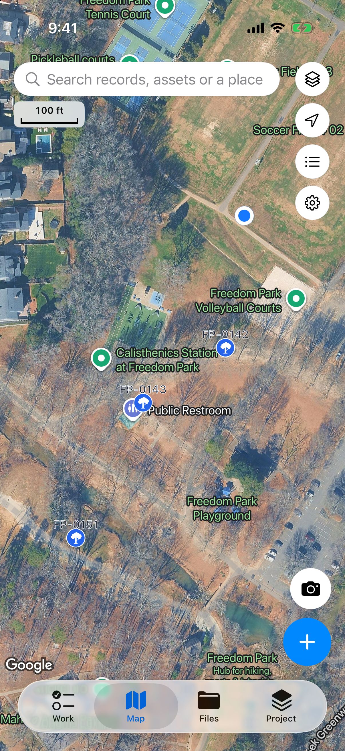
Mark what you find
Record a tree, a path, or an area on the map. Adjust the outline later and pick up an unfinished record where you left off.

Formerly FieldWorks
Every record. In its place.
Keep locations, photos, and inspection notes together. Share a report when the job is done.
Dipper Field (formerly FieldWorks) is an app in development for recording locations, photos, forms, and inspections, including when you are offline. Keep track of trees, equipment, sample sites, or work that needs a follow-up. It is free and coming soon to iPhone, iPad, and Android.
Record a tree, a path, or an area on the map. Adjust the outline later and pick up an unfinished record where you left off.

Start from practical templates, record issues where they are, and follow them up later.
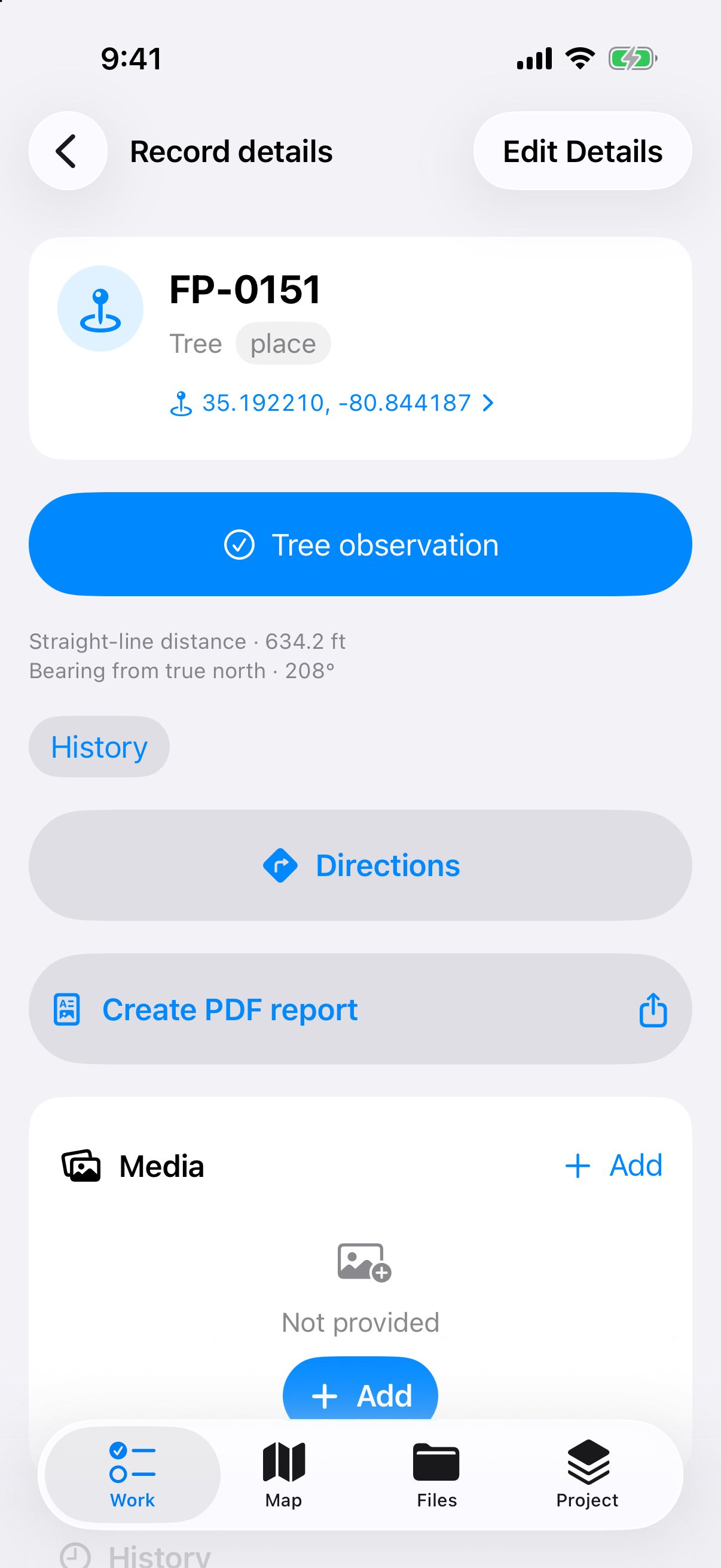
Each record keeps its position, photos, and video, and can be shared as a PDF report.
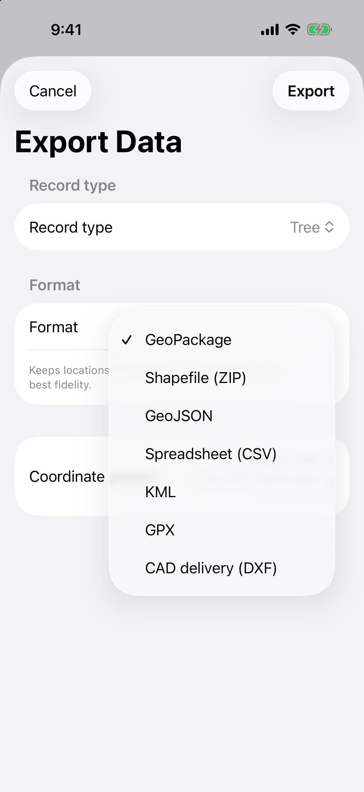
Share a PDF report or export records for spreadsheets, mapping, and design software. See the supported formats below.
Work without an account. Projects stay on your device, so you can record information without an internet connection.
Connect a compatible GPS receiver. Support is planned for receivers that send standard NMEA position data over Bluetooth LE. Dipper Go compatibility will be confirmed after testing.
Screens from a pre-release build, with a sample project.
| Format | File type |
|---|---|
| GeoPackage | .gpkg |
| Shapefile | .zip (.shp with its companion files) |
| GeoJSON | .geojson |
| CSV | .csv |
| KML | .kml |
| GPX | .gpx |
| DXF (CAD delivery) | .zip (.dxf) |
| PDF report |
Dipper Field is in final testing. Release dates for iPhone, iPad, and Android will be announced.
Our apps are free. We plan to keep on-device tools free, with charges only for optional online services such as cloud storage and RTK corrections.